- Solution area:Quality assurance and certification ,Regulations and compliance ,Technological innovation ,
- Аdministrative level:Municipality ,District ,State ,
- Solution process:Digitization and technology ,Environment and sustainability ,
- Technology:Artificial Intelligence ,Platform technology ,

Drone-supported torrent monitoring
Screening nature from above
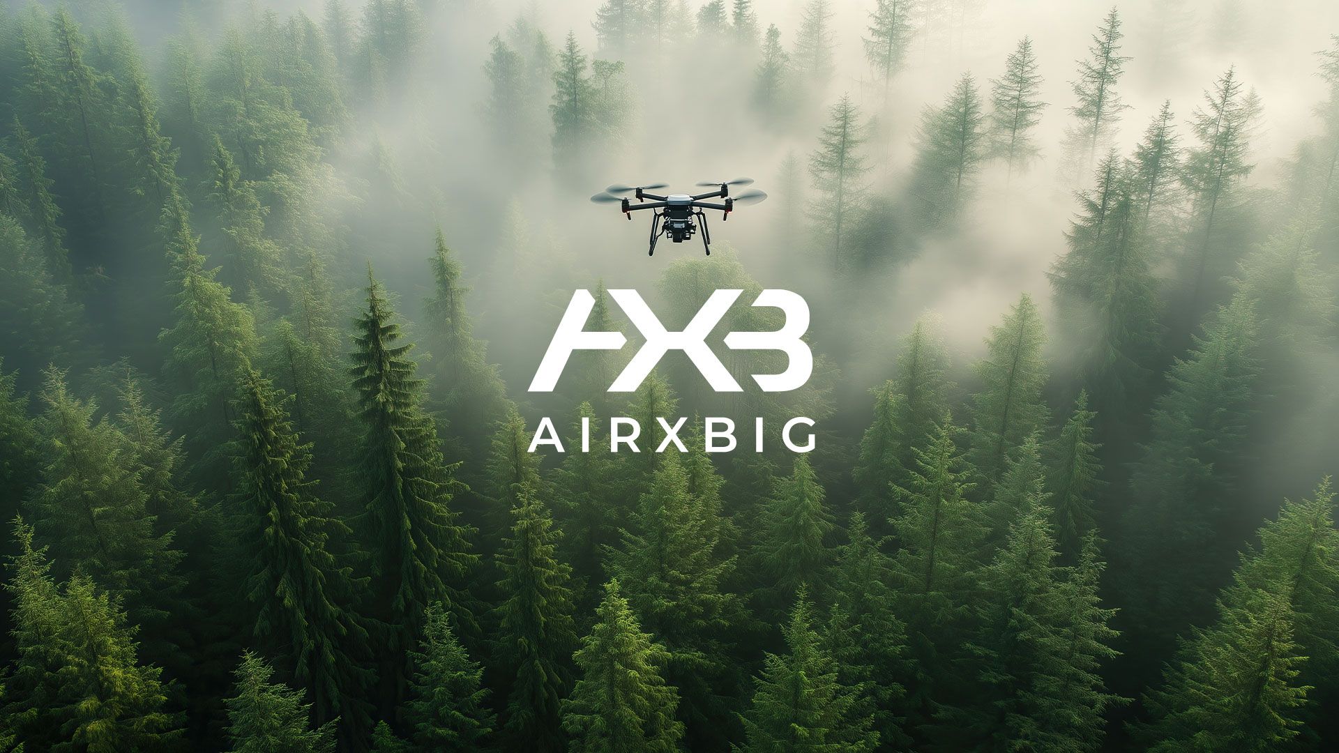
Monitoring nature is a key factor in preserving its beauty. However, this isn’t always as easy as it sounds, particularly in the case of small natural streams. They tend to be hidden in the woods beneath thick undergrowth, or located in unkempt and hard-to-access territories – which also makes it difficult to constantly monitor them to detect issues like excessive sediment deposits, wood in the riverbed, or damage caused by severe weather. With the help of drone-supported monitoring, councils in the Upper Carinthia region can access a bird’s eye view of all natural streams within their territory in crystal-clear quality – allowing them to quickly take action when needed.
Quick Facts
How it works
In several towns in the Upper Carinthia region of southern Austria, drones are used for torrent monitoring. With a vast number of streams scattered across the region, governing bodies in the towns of Malta, Rennweg, Trebesing, Spittal/Drau, Seeboden, Bad Kleinkirchheim, Ebene Reichenau and Kainach need to conduct annual checks to make sure there are no issues. As the terrain is very mountainous and difficult to access, this task previously had to be carried out on foot – a very time-consuming activity. Now, with the introduction of high-tech drones, expert pilots can simply fly over the area to get a bird’s eye view of the entire course of the stream – and can follow up on foot, if necessary. The drones supply the towns with clear, high-resolution images of the streams and their surroundings, making it easier to evaluate whether any measures need to be taken. In addition, within 48 hours of taking the pictures, an automated and AI- supported report is generated, supplying town officials with everything they need to know about the stream’s current state, its precise coordinates and information on who owns the relevant property. This clear and concise information package allows town authorities to identify risks and dangers more efficiently and to make quick and transparent decisions on how to combat them. Moreover, using drones is much more cost-effective than checking each stream individually and on foot – saving municipalities not only time and resources, but valuable budget as well.
The Big Picture
Drone-supported monitoring allows for a quick and clear view of areas that are usually difficult or even impossible to access – a valuable asset for streamlining the regular monitoring process and significantly reducing the amount of costs and resources involved. However, this innovative system especially shows its true potential in times of crisis: By using drones, councils can screen not only streams, but any territory they deem too dangerous to access, such as areas affected by floods, storms and other natural disasters. As such, authorities are able to safely assess the damage and plan any further measures – quickly, effectively and without the need of potentially putting someone’s life at risk.


